| |
    |
| |
| |

With a population of only 1200, Alpine County is California's least populated county, having a "density" of 1.6 people for each of its 743 square miles (San Francisco County: 17,000 per square mile). Most of its area is wilderness, forests and alpine meadows, a paradise for everyone who loves outdoor activities from bird watching to whitewater rafting, from mountain biking to photographing or painting.
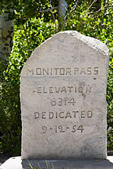
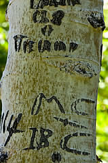
Of its four High Sierra passes, three are above 8,000 feet altitude, including the youngest, Monitor Pass, which was completed in 1954. It is located southeast of the county seat, Markleeville (above), in an area that used to be popular with Basque sheepherders in the late 19th and early 20th century, who broke the monotony of their occupation by carving messages and ornaments into the bark of aspen trees. Today the tradition is continued by tourists of a younger generation.
Alpine County also has a part in the history of the West as pioneer trails to California's gold fields as well as part of the Pony Express route lead through it. A Pony Express remount station was located at Woodfords, the first settlement in Alpine County. |
 |
 |
| |
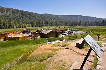 |

Grover Hot Springs is located in Hot Springs Valley, 3.5 miles west of Markleeville on the edge of an alpine meadow surrounded by forested mountains. One cool pool and one hot pool, fed by six mineral springs of up to 105ºF, offer a soothing soak after a day on the trail.
From the pool area a 3 mile roundtrip trail leads to the Hot Springs Creek Waterfall and a 10 mile roundtrip trail that ascents 2,100 feet visits Burnside Lake.
Travel Time from Quail Hollow: 25 minutes. |
 |
| |
 |
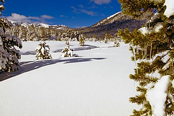 |

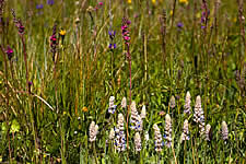
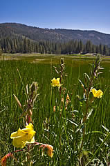
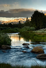
At an elevation of 7,000 feet, Hope Valley resembles Yosemite's Tuolumne Meadows in many ways, yet it is different. Accessible year round - safe for snow-caused road closures that never last very long - it is California's preferred destination for many outdoor enthusiasts.
Travel Time from Quail Hollow: 15 minutes. |
| |
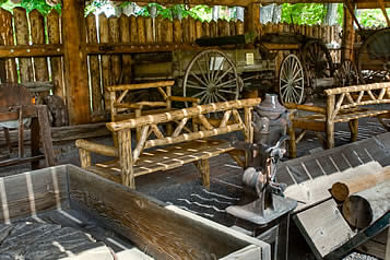 |
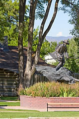
Only a few miles north of Quail Hollow lies Genoa, the birthplace of the State of Nevada.
Mormon Station Historical State Park marks the location of a trading post that was established in 1851 by Mormon traders from Salt Lake City. It offers a look at life in those days and documents the early history of the Silver State.
Travel Time from Quail Hollow: 25 minutes. |
|
| |
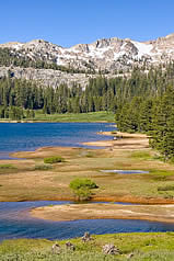 |

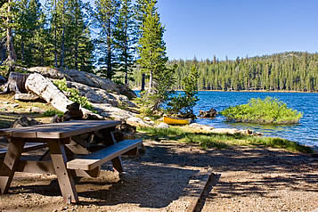
One of Alpine County's most popular destinations, Blue Lakes offers hiking, fishing, picnicking, boating, kayaking and more in an alpine landscape close to the tree line. It is located south of Hope Valley and accessible over a 12 mile scenic country road.
Travel Time from Quail Hollow: About 30 minutes. |
|
| |
|

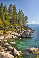
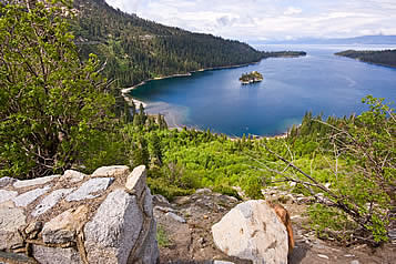
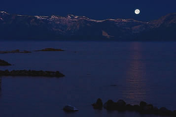
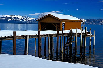
With a maximum depth of 1645 feet, America's largest alpine lake is too deep to freeze in winter, its surface temperature never dropping below 40º and rarely rising above 65º. This treasure of the Sierra Nevada fills visitors with awe in summer as in winter, in daylight as well as on a full moon night.
Travel time from Quail Hollow: Less than 30 minutes. |
|
 |
|
|
|
| |
    |
|
|
| |
|
| |
 Notice to users: Some pages and pop-up windows on this site contain PDF documents. Your computer needs to have Adobe Reader® installed to display them. In case this program is not installed on your computer you can download it by clicking on the Adobe Reader® icon to the right.
PDF documents may not display in Firefox® and Opera® on Macintosh® computers; instead the browser will give you the option to download the document and display it in Acrobat Reader® or Preview® instead. PDF documents will display as intended if you view this site in the Macintosh® native Safari® browser. |
| |
Quail Hollow, 2155 Carson River Road, Markleeville, CA 96120, (530) 694-1155, office@quailhollow.net |
| |
Web site design and maintenance by Jens Peermann Creative Services, Carson City, Nevada. All photography by Jens Peermann. All content of this site is protected by copyright laws. |
|
|


